

File:Pzmap-comparison.jpg
Size of this preview: 705 × 599 pixels. Other resolution: 1,207 × 1,026 pixels.
Original file (1,207 × 1,026 pixels, file size: 219 KB, MIME type: image/jpeg)
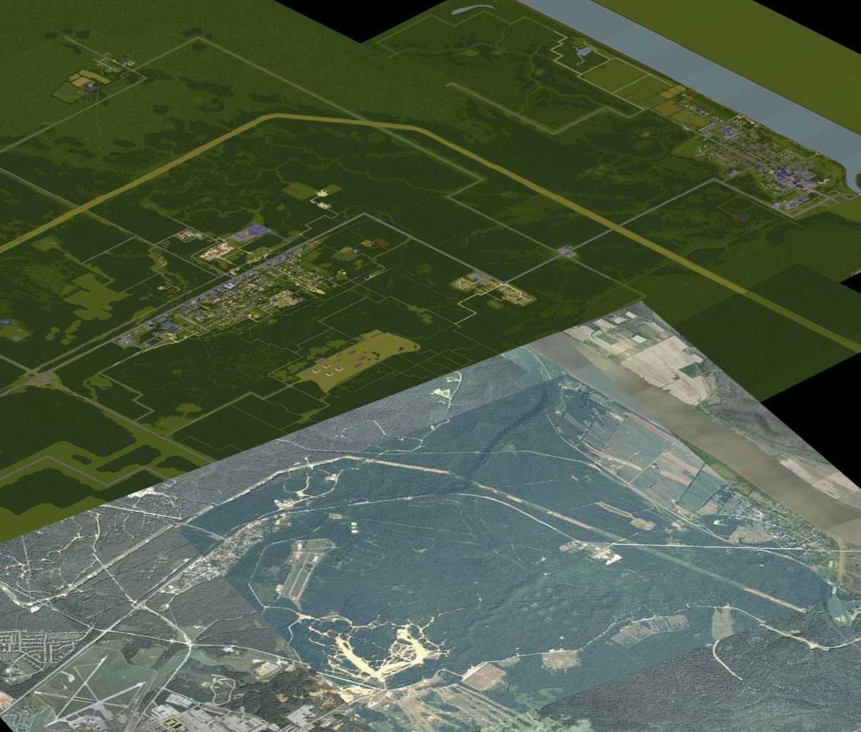
Comparison of PZ map and real life Muldraugh and West Point region. The PZ map image originates in Blindcoder's map project at http://pzmap.crash-override.net, and the real life pictures are from USGS public domain material.
Image manipulation of the USGS images was done by me, the uploader, and my part of the work is public domain as per Creative Commons CC0.
File history
Click on a date/time to view the file as it appeared at that time.
| Date/Time | Thumbnail | Dimensions | User | Comment | |
|---|---|---|---|---|---|
| current | 18:38, 19 November 2013 | | 1,207 × 1,026 (219 KB) | Harakka (talk | contribs) | Comparison of PZ map and real life Muldraugh and West Point region. The PZ map image originates in Blindcoder's map project at http://pzmap.crash-override.net, and the real life pictures are from USGS public domain material. Image manipulation of the ... |
You cannot overwrite this file.
File usage
The following 12 pages use this file: